Anyway, the dam changed the entire topography of this area, from Nevada into Arizona, and created the Lake Mead National Recreation Area, too. This is the scenery as we drive from the highway to the Visitor's Center on the Nevada side.


Both the bridge and the Dam are split between the states of Nevada and Arizona, sitting on the border between the two. I didn't read who Mike O'Callaghan was, but we probably all remember Pat Tillman, the former NFL football player who quit the league and joined the military after 9/11. He was born in California, but played college football for Arizona State, and was killed by "friendly fire" fairly early in the war. The 3rd pic here shows an aerial view of the dam and then the bridge in the background.


Had to climb a series of switchbacks to get to the bridge, and then there are 2 pics of the dam, looking towards Arizona. You can walk or drive over both the bridge we are standing on and the Hoover Dam, too. We drove over the Dam to get to the Arizona side, which is how everyone used to have to travel to get there before the Tillman Bridge was built.


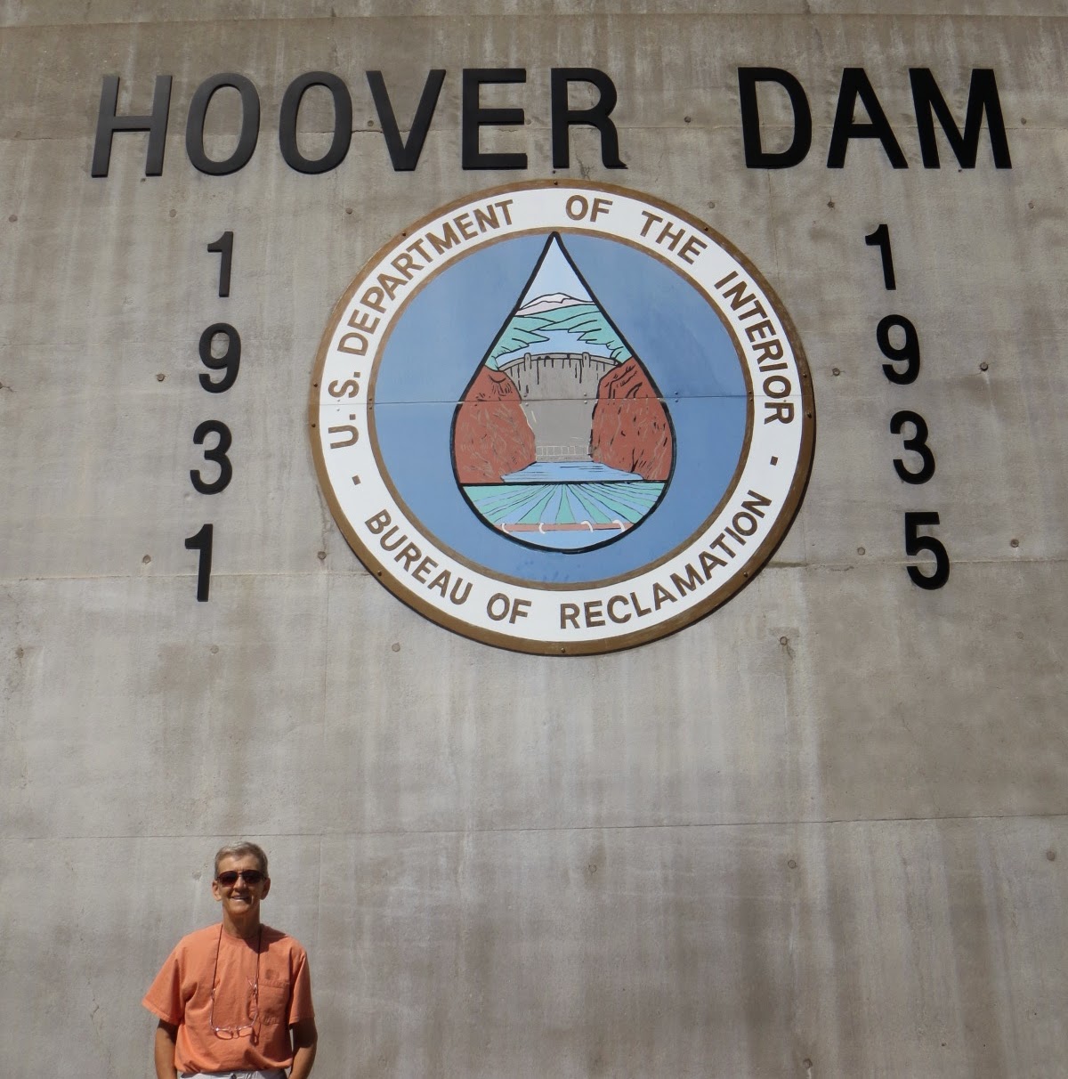
Still on the Nevada side, but on the dam itself. Because the bridge is split between the 2 states, I am standing in front of a clock that records what time it is in Nevada, while in the next grouping Cathy will be in front of the clock recording the time in Arizona. It is a little confusing, but Arizona is the only state in the country that doesn't "leap forward" or "fall back" with daylight savings time, so part of the year it is the same time as Nevada, and part of the year it is an hour ahead of Nevada...weird.


From the Arizona side looking towards Nevada, except in the 2nd pic which is going up river in Arizona. The white rock at the bottom of the mountains is from calcium deposits over time as the water rose to those levels.


So although it is really cool looking, you can only take so many pics of a bridge and dam...and none of them capture how big it is by the way...so we moved on to the Lake Mead National Rec Area for a scenic drive. There are 2 main roads for this, but here we took the shorter of the two for about a 10-mile drive.
As you can see from the map, this is a HUGE lake and recreation area. It is so big that no matter where you stand everything is dwarfed by the massiveness of it. Cathy is actually standing about 400 ft above the lake in the 2nd row pic, but you would never know that from the picture.


It is sort of hard to remember that we are in the Mojave Desert with all this lake water around us, but we are. The 3rd pic talks about all the electrical power generated by the dam, but you have to wonder how long that can last with the drought that has been going on for the better part of 20 years, off and on. In the 4th and 5th pics here you can see a vast area that used to be covered by water and is now empty. We were standing overlooking it and talking to a couple that used to live in this area in the 80s and 90s. They said every time they come back to visit more and more of this has no water...can't imagine anything good can come of that, but it is really beautiful in it's own right. In the 5th picture you can tell how deep the water used to be here, seeing as those rock formations used to be covered up.


Just a couple more pics of the area. I love all the different colors of the mountains, and in the 1st pic, that is a resort you might want to look up and stay at if you ever visit here...the window view would be worth the trip alone!


I didn't post this right away because we thought we might go back and do the other 50 miles of scenic drive, but we decided not to, so here it is.
And by the way, both Christopher and Hallie told me that they can now post comments on the blog from their iphones/ipads, so if you use those to view, you can now comment if you want also. TTYL!
I read this very quickly! So I know I will be coming back to it, just didn't want to fall behind! lol
ReplyDeleteVery interesting, but why was the dam built, and what happened to everything on the otherside they no longer got water????
The water still goes downstream Ellen, just in a more controlled fashion, and with the dam they are able to generate power all the way to California, so it is a definite benefit. It was originally built because the area would have a "feast or famine" issue...some times there would be so much runoff from upstream rain and snow melt that the area would flood, while by the end of the summer, due to being in the desert, it would reduce to barely a trickle. With the dam they control all that.
DeleteI love these pictures. The dam is beautiful as is the water.
ReplyDeleteThe whole area is gorgeous...even the drought-stricken part.
DeleteNice pictures. I watched a documentary on the Dam and the reason it was done ahead of schedule was because of a man named Frank Crowe. No relation.
ReplyDeleteI don't remember seeing his name mentioned, but he could very well be the primary contractor and I forgot his name as soon as I read it. haha
Delete